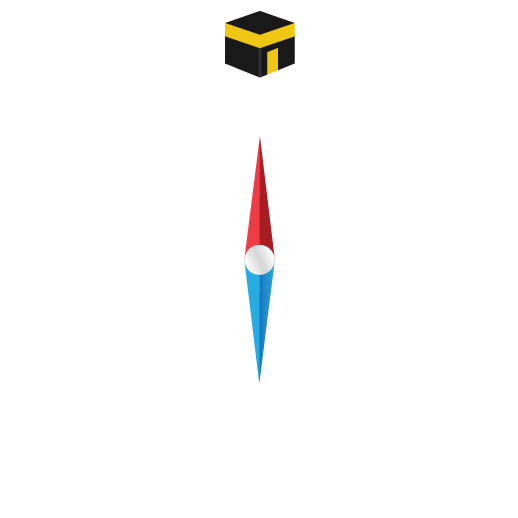
Qibla Direction From Bayt Sahur, Palestine
| CITY |
Bayt Sahur |
| country |
Palestine |
| Latitude, Longitude |
31.70095, 35.22631 |
| Latitude Longitude DMS |
31º0'0.00"N, 35º0'0.00"E |
| Time |
09:40 AM |
| Distance |
1230,6699km |
| Qibla Angle from Bayt Sahur |
157,11408 |
| Qibla Angle from Bayt Sahur |
157° 6' 50'' |
| Time Now Mecca |
09:40 AM |
| Kaba Latitude Longitude |
21.4225, 39.826185 |
| Kaba Latitude Longitude DMS |
21º25'21.00"N, 21º25'21.00"E |
Qibla in Other Cities of Palestine
|
CITY
|
Distance from Mecca
| Qibla Angle
| Qibla Angle
|
|
Gaza
|
1240,7189km
|
153.29989
|
153° 17' 59''
|
|
Jéricho
|
1239,734km
|
158.44761
|
158° 26' 51''
|